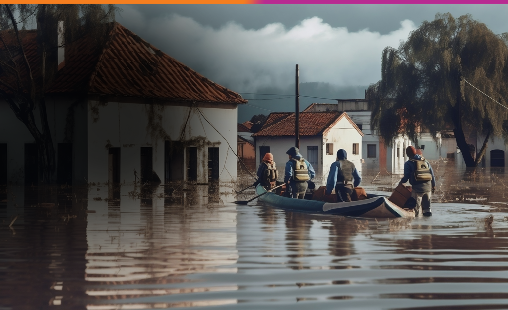
FLOOD VULNERABILITY & HAZARD ZONATION MAPPING
Futech Innovations leverages advanced geospatial technologies and hydrological modeling to assess flood vulnerability and map hazard zones. Our team integrates high-resolution elevation data, rainfall patterns, and hydraulic modeling to simulate flood scenarios and predict flood risks. By applying advanced GIS analytics, we generate accurate flood hazard maps, enabling governments, disaster management agencies, and insurance companies to develop robust emergency response plans and implement effective flood risk mitigation strategies.